• Home
  • Bela Brook
  • Kimball Pond
  • Kuncanowet Forest
    • Elementary School Trails
    • Stone Farm
  • News
  • About
Menu

Dunbarton Conservation

Welcome
  • Home
  • Bela Brook
  • Kimball Pond
  • Kuncanowet Forest
  • Conservation Easements
    • Elementary School Trails
    • Stone Farm
  • News
  • About
View fullsize IMG_5018.JPG
View fullsize IMG_5030.JPG
View fullsize IMG_5029.JPG
View fullsize IMG_5021.JPG

Canoeing on Kimball Pond

July 20, 2016

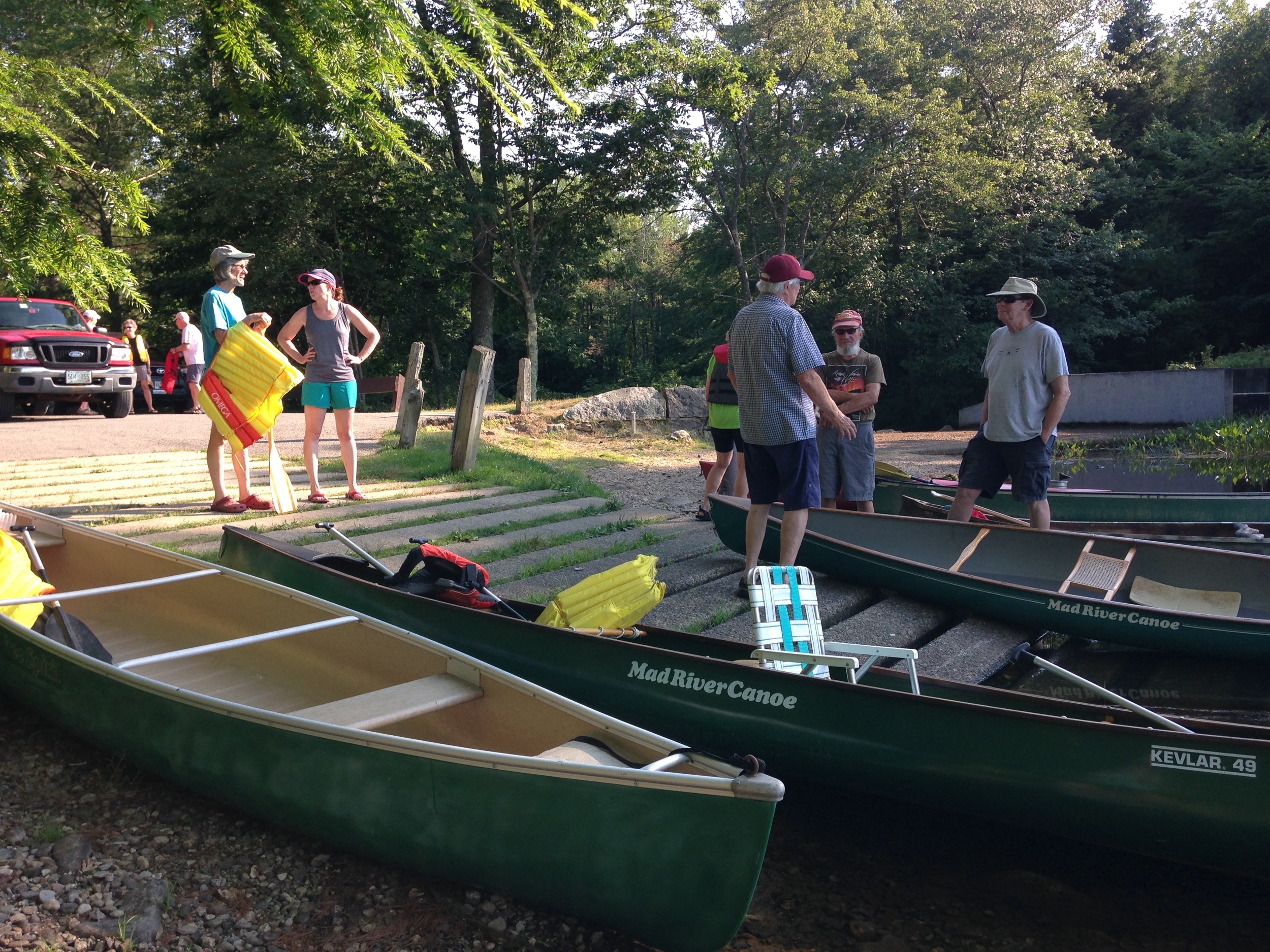
Members of the Conservation Commission spent an evening exploring Kimball Pond. We spotted several Great Blue Herons, ducks, a snake, and a beaver colony at the pond's border with the Great Meadows. Amazingly, no bugs!

← Volunteers needed for Kuncanowet Trail DayNew biggest boulder In Dunbarton re-discovered! →
Get notices of our hikes & trail days

The 13 Wonders of Dunbarton

The Bela Brook Conservation Area (Grapevine Road)

Kimball Pond Conservation Area (Kimball Pond Road)

Kuncanowet Town Forest and Conservation Area (Holiday Shore Drive)

Winslow Town Forest (Stark Lane) 

Stark Cemetery (Mansion Road)

Hopkinton Everett Flood Control Area (Everett Dam Road)

Long Pond (Long Pond Road)

Purgatory Pond (Purgatory Pond Road)

View from Burnham Hill (Rt. 13)

Rogers and Putney home sites (Robert Rogers Road)

Highest Point in Dunbarton and view from Mills Hill (Rt. 13) 900 feet).

Biggest boulder in Dunbarton (off powerlines on east side of Kimball Pond Rd.)

Geographic Center of New England (Stone Farm, Guinea Rd.)

Get your 13 Wonders Card