• Home
  • Bela Brook
  • Kimball Pond
  • Kuncanowet Forest
    • Elementary School Trails
    • Stone Farm
  • News
  • About
Menu

Dunbarton Conservation

Welcome
  • Home
  • Bela Brook
  • Kimball Pond
  • Kuncanowet Forest
  • Conservation Easements
    • Elementary School Trails
    • Stone Farm
  • News
  • About
View fullsize IMG_8837.JPG
View fullsize IMG_8845.JPG
View fullsize IMG_8849.JPG
View fullsize IMG_8853.JPG

Caution - trails are icy

April 1, 2019

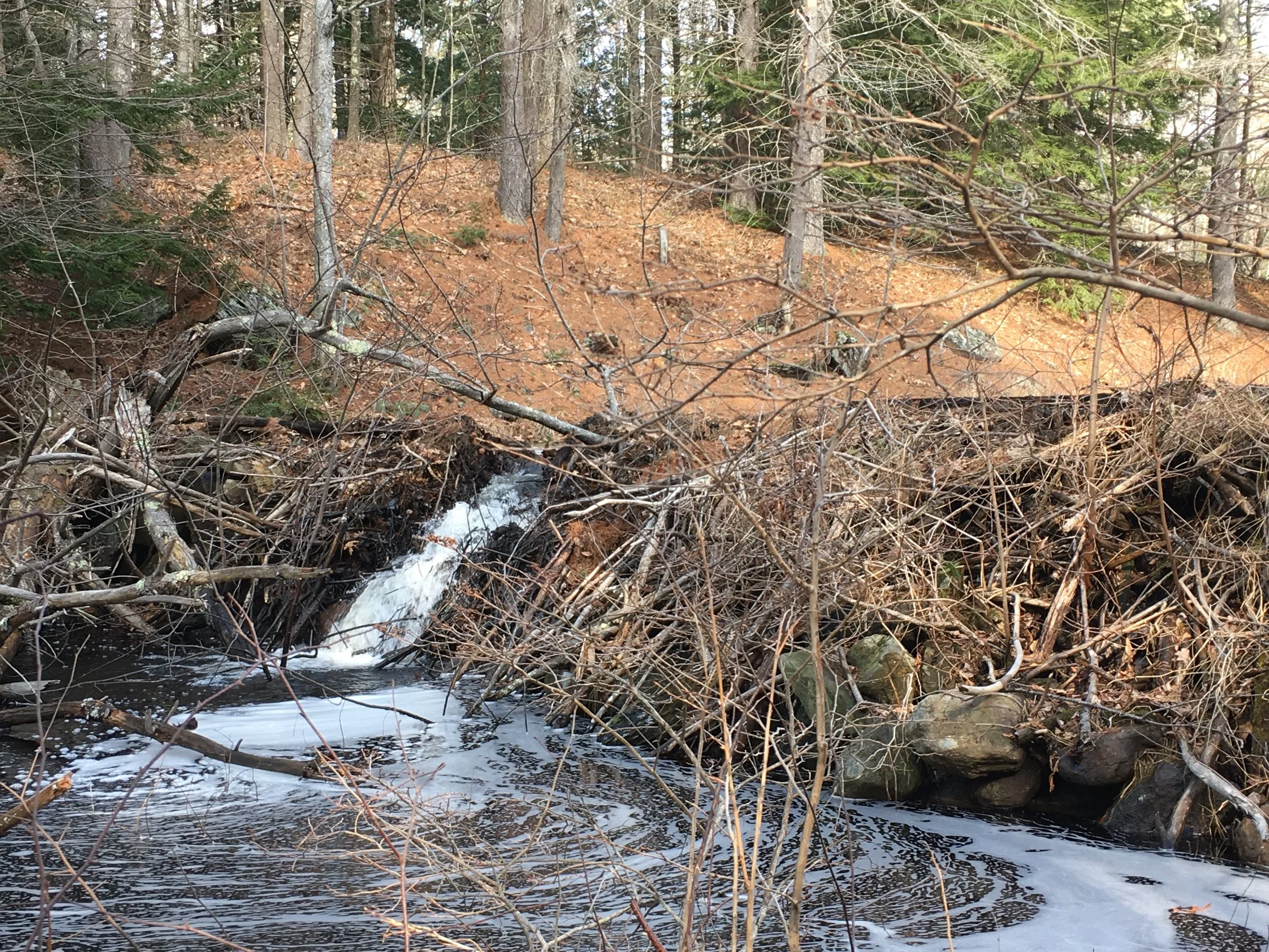
Spring has arrived and it’s a beautiful time to be in the woods. Most of the snow is gone, but be aware that on the trails that receive a lot of winter use the snow was packed down and became ice. Icy conditions are present in many spots. Bringing creepers or microspikes along just in case is a good idea — probably for the next week or so until the ground warms up and that ice melts. Have fun!

← Kuncanowet Celebrates 30 YearsSnowshoe anyone? →
Get notices of our hikes & trail days

The 13 Wonders of Dunbarton

The Bela Brook Conservation Area (Grapevine Road)

Kimball Pond Conservation Area (Kimball Pond Road)

Kuncanowet Town Forest and Conservation Area (Holiday Shore Drive)

Winslow Town Forest (Stark Lane) 

Stark Cemetery (Mansion Road)

Hopkinton Everett Flood Control Area (Everett Dam Road)

Long Pond (Long Pond Road)

Purgatory Pond (Purgatory Pond Road)

View from Burnham Hill (Rt. 13)

Rogers and Putney home sites (Robert Rogers Road)

Highest Point in Dunbarton and view from Mills Hill (Rt. 13) 900 feet).

Biggest boulder in Dunbarton (off powerlines on east side of Kimball Pond Rd.)

Geographic Center of New England (Stone Farm, Guinea Rd.)

Get your 13 Wonders Card